General Map of the Fair
View the map of the Libramont Fair
The Libramont fairgrounds cover 16 hectares of exhibition areas.
To access them, use the visitor parking near the E411 motorway exits (exit 25b coming from Brussels and exit 26 coming from Luxembourg).
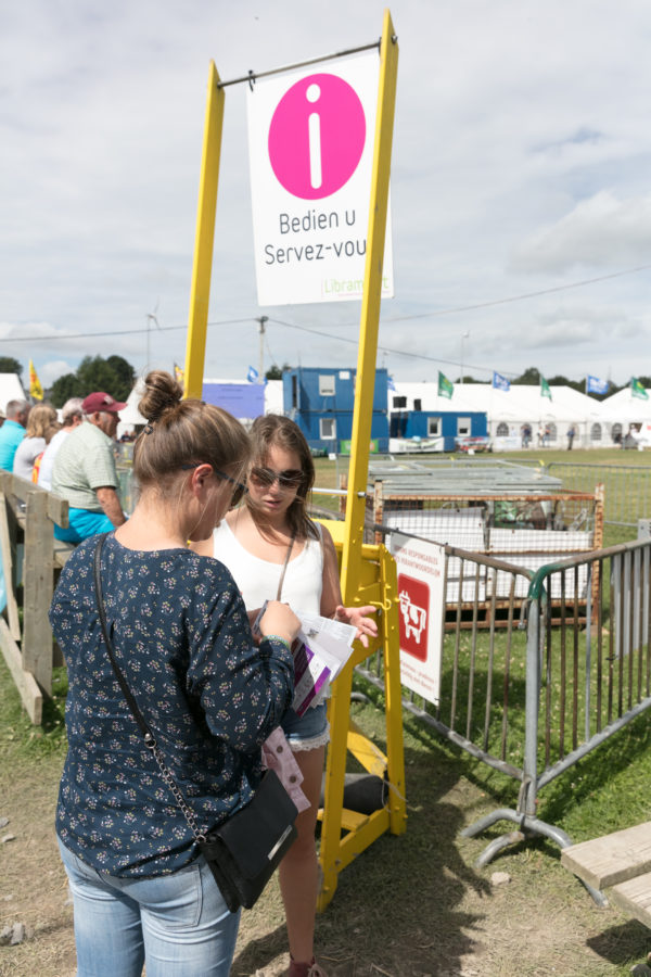
Once you arrive at the fairground entry gates, use the official maps to find your location. The general map, with a list of exhibitors in alphabetical order, is available at the information kiosks or can be found on large posters near the entrances.
The following maps contain information about the exhibitor stands, thematic centres of interest and various facilities (food service and hospitality areas, reception and conference areas, toilets, etc.).
Once in place, our stewards can also point you to the area you’re looking for.
View the map of the Libramont Fair
Activities, workshops and exhibitors to discover
Download
Discover a wealth of equipment, products and services for home construction and fitting out, as well as products to taste (special beers, French wines, sweets, etc.).

© Libramont Coopéralia 2024
